Introduction
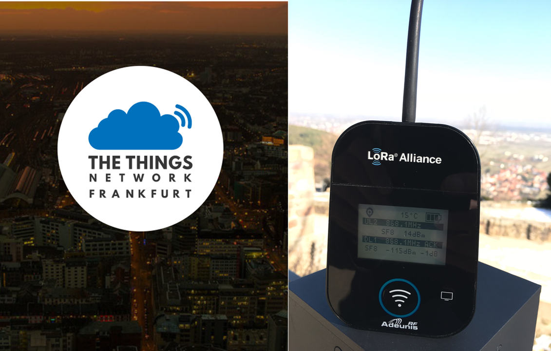
Do you have a Adeunis Field Test Device and want to use the new TTN Mapper Integration ?
Great Device and thanks to jpmeijers a cool integration. But whats needed is a Payload decoder. For mapping the coverage of the ttn_frankfurt we developed a payload decoder that works with the Adeunis Field test device.
Thanks to Dominik who did develope this decoder.
Steps to be done
What you have to do to get it running is quite simple.
- Just add an application e.g. Adeunis Field Test Devices.
- Register your device
- Configure the Adeunis with APP EUI and APP Key
- Copy and paste the payload decoder into Payload Formats
Now you can start mapping. See your results at
https://ttnmapper.org/colour-radar/
Our first mapping with the Adeunis was at the Hambacher castle in Germany. We did reach our gateway located in Frankfurt in 95 km distance. Great!!

Payload Decoder
function Decoder( bytes, port )
{
// Functions
function parseCoordinate( raw_value, coordinate )
{
// This function parses a coordinate payload part into
// dmm and ddd
var raw_itude = raw_value;
var temp = "";
// Degree section
var itude_string = ( (raw_itude >> 28) & 0xF ).toString( );
raw_itude <<= 4;
itude_string += ( (raw_itude >> 28) & 0xF ).toString( );
raw_itude <<= 4;
coordinate.degrees += itude_string;
itude_string += "°";
// Minute section
temp = ( (raw_itude >> 28) & 0xF ).toString( );
raw_itude <<= 4;
temp += ( (raw_itude >> 28) & 0xF ).toString( );
raw_itude <<= 4;
itude_string += temp;
itude_string += ".";
coordinate.minutes += temp;
// Decimal section
temp = ( (raw_itude >> 28) & 0xF ).toString( );
raw_itude <<= 4;
temp += ( (raw_itude >> 28) & 0xF ).toString( );
raw_itude <<= 4;
itude_string += temp;
coordinate.minutes += ".";
coordinate.minutes += temp;
return itude_string;
}
function parseLatitude( raw_latitude, coordinate )
{
var latitude = parseCoordinate( raw_latitude, coordinate );
latitude += ((raw_latitude & 0xF0) >> 4).toString( );
coordinate.minutes += ((raw_latitude & 0xF0) >> 4).toString( );
return latitude;
}
function parseLongitude( raw_longitude, coordinate )
{
var longitude = ( ((raw_longitude >> 28) & 0xF ) ).toString( );
coordinate.degrees = longitude;
longitude += parseCoordinate( raw_longitude << 4, coordinate );
return longitude;
}
function addField( field_no, payload )
{
switch( field_no )
{
// Presence of temperature information
case 0:
payload.temperature = bytes[bytes_pos_] & 0x7F;
// Temperature is negative
if( (bytes[bytes_pos_] & 0x80) > 0 )
{
payload.temperature -= 128;
}
bytes_pos_++;
break;
// Transmission triggered by the accelerometer
case 1:
payload.trigger = "accelerometer";
break;
// Transmission triggered by pressing pushbutton 1
case 2:
payload.trigger = "pushbutton";
break;
// Presence of GPS information
case 3:
// GPS Latitude
// An object is needed to handle and parse coordinates into ddd notation
var coordinate = {};
coordinate.degrees = "";
coordinate.minutes = "";
var raw_value = 0;
raw_value |= bytes[bytes_pos_++] << 24;
raw_value |= bytes[bytes_pos_++] << 16;
raw_value |= bytes[bytes_pos_++] << 8;
raw_value |= bytes[bytes_pos_++];
payload.lati_hemisphere = (raw_value & 1) == 1 ? "South" : "North";
payload.latitude_dmm = payload.lati_hemisphere.charAt( 0 ) + " ";
payload.latitude_dmm += parseLatitude( raw_value, coordinate );
payload.latitude = ( parseFloat( coordinate.degrees ) + parseFloat( coordinate.minutes ) / 60 ) * ( (raw_value & 1) == 1 ? -1.0 : 1.0);
// GPS Longitude
coordinate.degrees = "";
coordinate.minutes = "";
raw_value = 0;
raw_value |= bytes[bytes_pos_++] << 24;
raw_value |= bytes[bytes_pos_++] << 16;
raw_value |= bytes[bytes_pos_++] << 8;
raw_value |= bytes[bytes_pos_++];
payload.long_hemisphere = (raw_value & 1) == 1 ? "West" : "East";
payload.longitude_dmm = payload.long_hemisphere.charAt( 0 ) + " ";
payload.longitude_dmm += parseLongitude( raw_value, coordinate );
payload.longitude = ( parseFloat( coordinate.degrees ) + parseFloat( coordinate.minutes ) / 60 ) * ( (raw_value & 1) == 1 ? -1.0 : 1.0);
// GPS Quality
raw_value = bytes[bytes_pos_++];
switch( (raw_value & 0xF0) >> 4 )
{
case 1:
payload.gps_quality = "Good";
break;
case 2:
payload.gps_quality = "Average";
break;
case 3:
payload.gps_quality = "Poor";
break;
default:
payload.gps_quality = (raw_value >> 4) & 0xF;
break;
}
payload.hdop = (raw_value >> 4) & 0xF;
// Number of satellites
payload.sats = raw_value & 0xF;
break;
// Presence of Uplink frame counter
case 4:
payload.ul_counter = bytes[bytes_pos_++];
break;
// Presence of Downlink frame counter
case 5:
payload.dl_counter = bytes[bytes_pos_++];
break;
// Presence of battery level information
case 6:
payload.battery_level = bytes[bytes_pos_++] << 8;
payload.battery_level |= bytes[bytes_pos_++];
break;
// Presence of RSSI and SNR information
case 7:
// RSSI
payload.rssi_dl = bytes[bytes_pos_++];
payload.rssi_dl *= -1;
// SNR
payload.snr_dl = bytes[bytes_pos_] & 0x7F;
if( (bytes[bytes_pos_] & 0x80) > 0 )
{
payload.snr_dl -= 128;
}
bytes_pos_++;
break;
default:
// Do nothing
break;
}
}
// Declaration & initialization
var status_ = bytes[0];
var bytes_len_ = bytes.length;
var bytes_pos_ = 1;
var i = 0;
var payload = {};
// Get raw payload
var temp_hex_str = ""
payload.payload = "";
for( var j = 0; j < bytes_len_; j++ )
{
temp_hex_str = bytes[j].toString( 16 ).toUpperCase( );
if( temp_hex_str.length == 1 )
{
temp_hex_str = "0" + temp_hex_str;
}
payload.payload += temp_hex_str;
}
// Get payload values
do
{
// Check status, whether a field is set
if( (status_ & 0x80) > 0 )
{
addField( i, payload );
}
i++;
}
while( ((status_ <<= 1) & 0xFF) > 0 );
return payload;
}


